APPLICATIONS
.
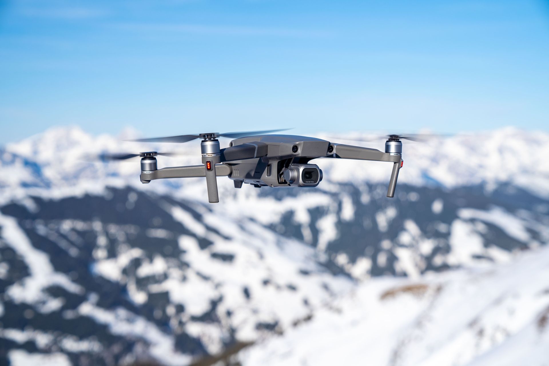
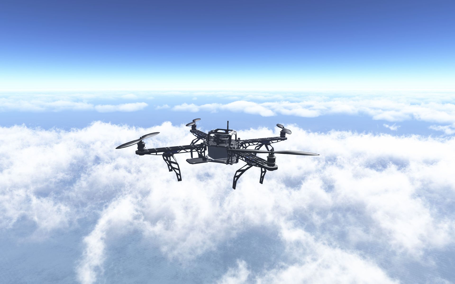
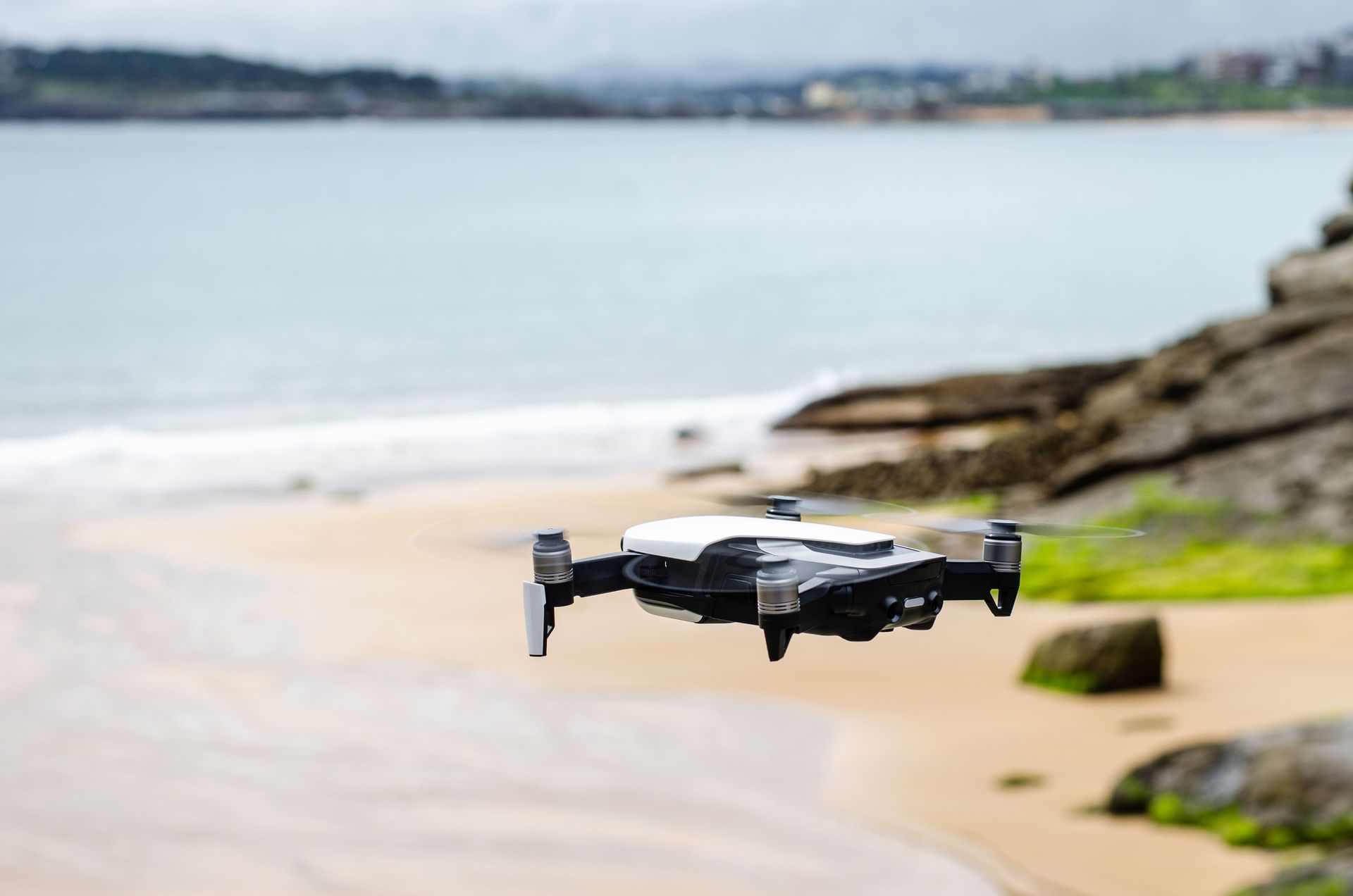
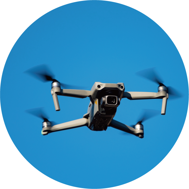
Drone
Application of Geomagnetic Sensor in UAV
- UAV flight requires an attitude and heading reference system (AHRS). The accelerometer and gyroscope can estimate the roll and pitch of the aircraft. However, yaw cannot be accurately obtained through these two, and a geomagnetic sensor is needed here. The geomagnetic sensor mainly calculates the angle between the aircraft and magnetic north according to the geomagnetic vector.
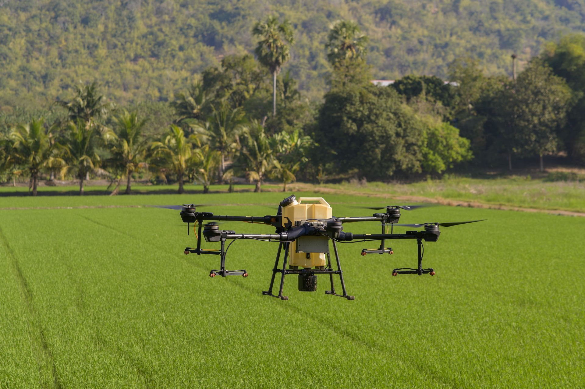
- Industrial-grade drones can be used in a wide range of fields, including scientific research (climate, topography, ecology, minerals), environmental monitoring, infrastructure inspection, disaster relief and epidemic prevention (mountain disasters, sea disasters, air disaster search, spraying disinfectants, and warnings for mass gatherings) ), agriculture, forestry, fishery and animal husbandry management (spraying chemicals, field orchard inspections), spatial information measurement, media dissemination, telecommunication services, logistics and home delivery, entertainment activities, etc.
- When UAVs are flying, they have high requirements for the accuracy of heading and orientation, so they have high requirements for noise. The motor on the airframe is easy to get close to the high-voltage wires in the environment during rotation and flight, which is the main source of magnetic interference. Therefore, the requirements for tolerance to magnetic field interference and data output rate are high to reduce the impact of such interference.
- VTC's geomagnetic sensors provide excellent anti-interference ability, high output rate, more accurate resolution and high temperature stability, providing customers with more optimized product solutions.